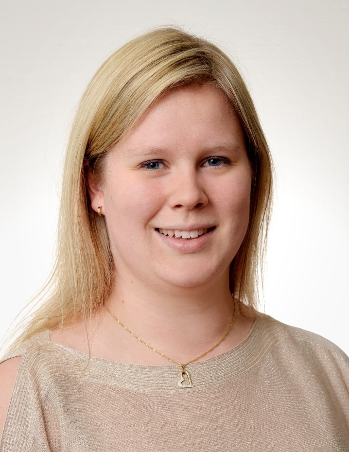


Gemma Hoyes
Background: I completed my integrated MSc Oceanography at Southampton in 2015. My research project in my final year focused on International Marine Law, UNCLOS, and the development of the legislation for extraction of minerals in deep sea mining of International waters. After that I spent time working in different industries before completing my MSc International Marine Environmental Consultancy at Newcastle in 2019-2020. For my final project at Newcastle I considered whether it was feasible to monitor offshore sandbanks using satellite imagery, focussing primarily off the Norfolk coast which has 3 SACs containing offshore sandbanks.
Research Interests: My main focus of interest is the ability to use satellite data to provide high temporal-spatial resolution data. Currently my focus is using this data to understand the bathymetry of the seabed in shallow offshore waters, which includes overcoming difficulties such as turbidity and suspended sediment. My hope is to be able to expand the potential of this, including a wider array of the satellite data which is freely available to enable a clearer understanding of some of the processes that occur.
Why you applied for the Aura CDT: I applied for Aura CDT to give myself a new challenge. I have loved the challenges that my last two academic courses have given me, and want to carry on stretching what I can do. I passionately believe the oceans can be used sustainably, ensuring that we protect and conserve the oceans while using them to benefit mankind.
Offshore wind turbines and submerged sandbanks are commonly located in close proximity due to the urgent prioritisation of deployments. Improved monitoring of the sandbanks would enable a clearer understanding of the impact of this, as well as advancing our knowledge of offshore sandbanks in general. Satellite-derived bathymetry will enable us to identify and monitor the sandbanks, by using multi-spectral satellite imagery and empirical modelling. This will be beneficial for informing future environmental impact assessments and supporting ongoing monitoring.
Contact: G.Hoyes-2020@hull.ac.uk

For an informal discussion, call +44 (0) 1482 463331
or contact auracdt@hull.ac.uk